
![Jehanabad, Bihar City Guide: Where To Go, Stay, Eat, And shop in India’s best city. [Updated-2025]](https://traveloinfo.com/wp-content/uploads/2025/03/JehanabadBihar-872x547.jpg)
Jehanabad, Bihar City Guide: Where To Go, Stay, Eat, And shop in India’s best city.
Jehanabad, Bihar
Jehanabad is a historical and agricultural town in central Bihar, known for its fertile land, historical sites, and political significance. It is part of the Magadh region, which has a rich history dating back to the Mauryan and Gupta empires. The town has been a center of peasant movements and social activism in Bihar.
1. Location & Geography
- Located 50 km south of Patna, the capital of Bihar.
- Lies on NH-83, connecting it to Gaya and Patna.
- Situated on the banks of the Dardha River, which supports agriculture in the region.
- The area experiences hot summers and cool winters, with monsoon-dependent farming.
2. Economy & Industries
- Agriculture:
- Major crops: Paddy (rice), wheat, lentils, and vegetables.
- Fertile land due to proximity to the Sone and Dardha rivers.
- Small-Scale Industries:
- Presence of rice mills, brick kilns, and agro-based industries.
- Trade & Commerce:
- Local markets trade in agriculture products, dairy, and handicrafts.
3. Education & Institutions
- Jaya Prakash University (JPU) affiliated colleges.
- Government Engineering College, Jehanabad.
- Several government and private schools following CBSE and BSEB curriculums.
4. Historical & Cultural Significance
- Part of the Ancient Magadh Region:
- Connected to Buddhist and Jain history, with Gaya and Rajgir nearby.
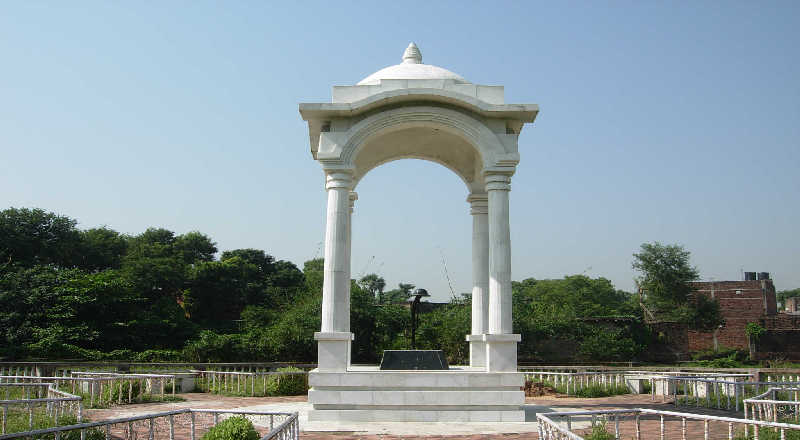
- Freedom Movement & Social Activism:
- Played a role in peasant movements and social justice struggles.
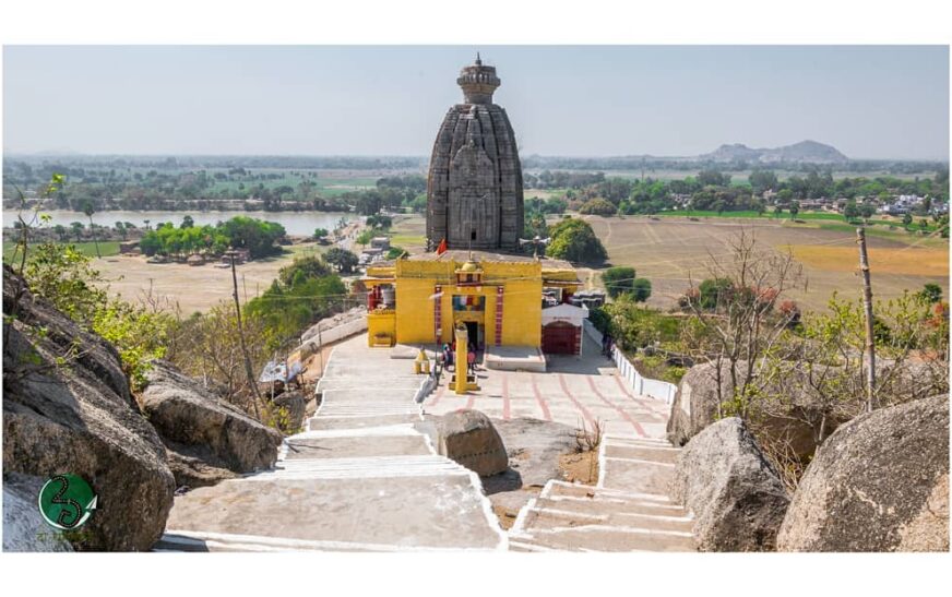
- Maa Durga Temple:
- A famous Hindu pilgrimage site attracting local devotees.
5. Tourist Attractions
- Barabar Caves (25 km away):
- Oldest rock-cut caves in India, dating back to the Mauryan period (3rd century BCE).
- Associated with Jainism and Buddhism.
- Bihar Sharif & Nalanda (nearby):
- Nalanda University ruins and Bihar Sharif dargah are within 80 km.
6. Connectivity & Transport
- By Road:
- Located on NH-83, connecting it to Patna and Gaya.
- Frequent Bihar State Road Transport (BSRTC) buses.
- By Rail:
- Jehanabad Railway Station (JHD) on the Patna-Gaya rail route.
- By Air:
- The nearest airport is Jay Prakash Narayan International Airport, Patna (55 km away).
7. Lifestyle & Development
- Rapid urbanization with new infrastructure, shopping centers, and hospitals.
- Government projects for road and rail connectivity improvements.
- Real estate growth due to its location between Patna and Gaya.
![Best Places to Visit & Things To Do in Western Water Catchment, Singapore [Updated-2026]](https://traveloinfo.com/wp-content/uploads/2025/11/singapore10.avif)
![Best Places to Visit & Things To Do in Western Islands, Jurong Island and Bukom [Updated-2026]](https://traveloinfo.com/wp-content/uploads/2025/11/singapore8.avif)
![Best Places to Visit & Things To Do in Tuas, Singapore [Updated-2026]](https://traveloinfo.com/wp-content/uploads/2025/11/singapore7.avif)
![Bangalore, Karnataka City Guide: Where To Go, Stay, Eat, And shop in India’s best city. [Updated-2025]](https://traveloinfo.com/wp-content/uploads/2025/02/bangaloref.jpg)
![Hyderabad, Telangana City Guide: Where To Go, Stay, Eat, And shop in India’s best city. [Updated-2025]](https://traveloinfo.com/wp-content/uploads/2025/02/hydrabad1.jpg)
![Ahmedabad, Gujarat City Guide: Where To Go, Stay, Eat, And shop in India’s best city. [Updated-2025]](https://traveloinfo.com/wp-content/uploads/2025/02/ahemadabad1.jpg)